 Litia Cava
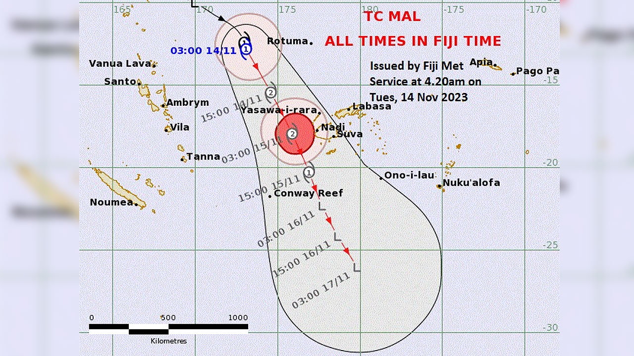
[Source: Fiji Met/ Facebook]
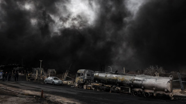
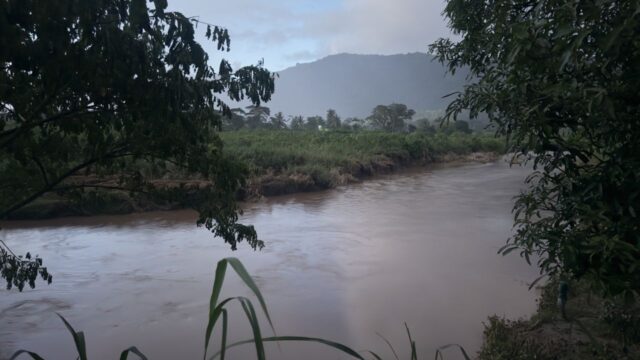
The Nadi Weather Office has revealed that as of 3am today, Tropical Cyclone Mal was situated approximately 430 kilometres west of Rotuma or 650 kilometres northwest of Yasawa.
Fiji Meteorological Service Acting Director Bipen Prakash says it is now moving rapidly southeast towards Fiji at a speed of 28 kilometres per hour.
Prakash has emphasized the potential impact TC Mal has on the country and is advising Fijians to prepare.
According to Prakash, the cyclone is expected to pass west of the Fiji Group tonight with its centre projected to be around 170 kilometres west of Nadi at 3 am tomorrow.
The Yasawa and Mamanuca Groups are likely to experience the initial effects, and the impact will gradually spread across the rest of the country.
“These winds can break tree branches, blow unsecured and loose materials, disrupt communication system network, affect power supply, it can also damage temporary weak shelters, it may become very difficult for sea travel and also increases the risk of coastal flooding especially during high tides.”
Prakash highlighted that the larger islands should brace for the impact especially overnight.
He notes that the cyclone may start affecting the Yasawa and Mamanuca Groups later today, and Viti Levu is expected to experience its impact from later this afternoon.
The most destructive winds are anticipated tonight.
Prakash mentions that the current projections classify the cyclone as a Category Two system, leaning towards the higher end of the scale.
Storm-force winds are expected over the Yasawa and Mamanuca Groups, Western and Southern Viti Levu, Vatulele, Kadavu, and nearby smaller islands.
Prakash emphasized the far-reaching effects of the large system, prompting gale warnings for Western Vanua Levu, Eastern Viti Levu, and the Lomaiviti Group.
Residents in these areas are urged to stay informed and take necessary precautions as the cyclone approaches.
Stream the best of Fiji on VITI+. Anytime. Anywhere.