Ranil Kumar
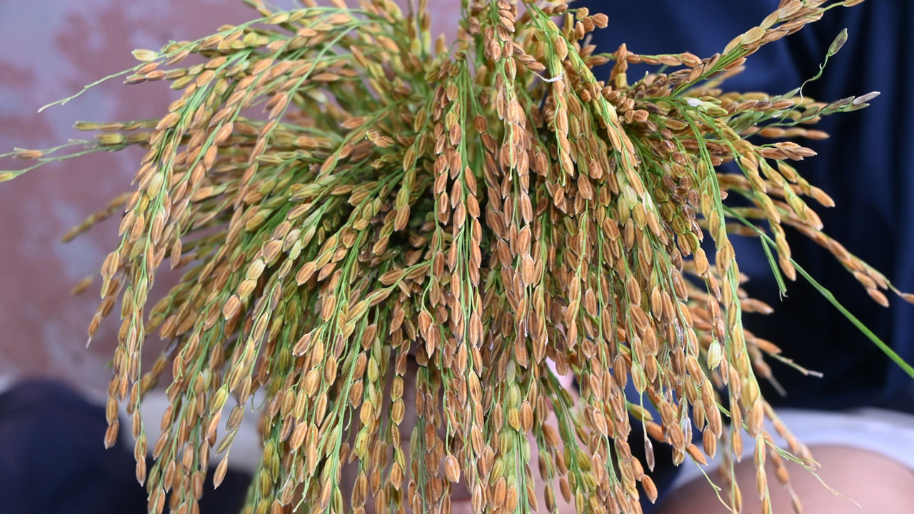
[Source: Ministry of Agriculture and Waterways Fiji/ Facebook]
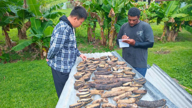
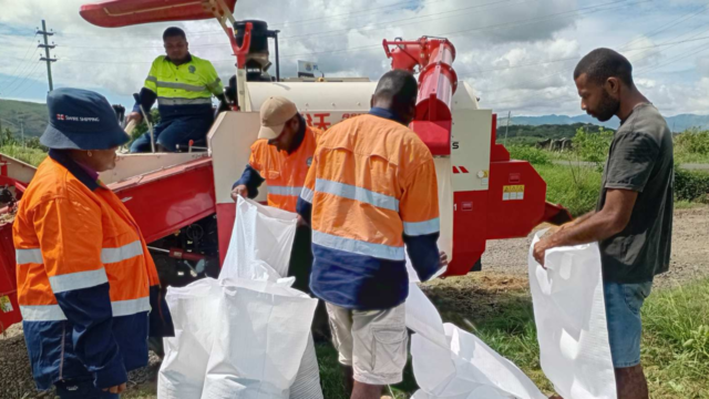
The Ministry of Agriculture recently conducted an integrated rice crop-cutting survey method in the Ra region, utilizing the innovative QField app for farm area measurement.
Following the successful trial of this new Geographic Information System tool, the Ministry intends to conduct a comprehensive rice survey.
The Ministry states that the primary aim of this initiative is to enhance the quality of data produced by implementing robust validation tools.
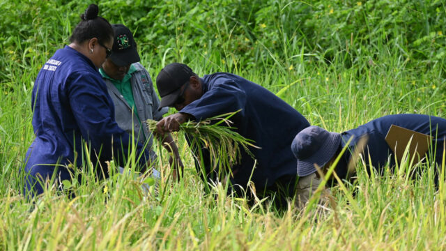
[Source: Ministry of Agriculture and Waterways Fiji/ Facebook]
In addition, the team seeks to provide updated and reliable baseline information on the structure of rice farming in Fiji, as well as assess rice demand and supply at supermarkets, and identify changes and trends in rice farming practices.
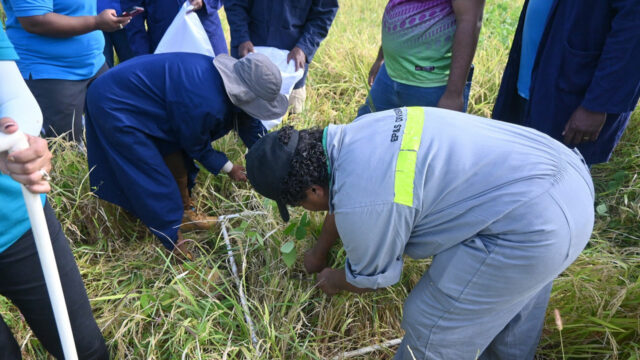
[Source: Ministry of Agriculture and Waterways Fiji/ Facebook]