 Litia Cava
[File Photo]
The Ministry of Lands approved 838 survey plans, exceeding its target of 240 by over three times.
These survey plans, submitted by private and government surveyors, are a crucial step in land registration and development.
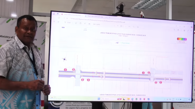
To improve land mapping accuracy, the ministry is working with Geoscience Australia through the Pacific Community (SPC) to upgrade Fiji’s geodetic datum.
This involves using advanced software to process metadata and define a more precise mapping reference for the country.
Efforts are also underway to maintain Fiji’s eight Continuous Operating Reference Stations (CORS) in locations such as Labasa, Taveuni, Koro, Kadavu, Lakeba, Ono-i-Lau and Rotuma.
These stations provide critical data for land surveys but maintenance has focused on fixing power and internet connectivity issues.
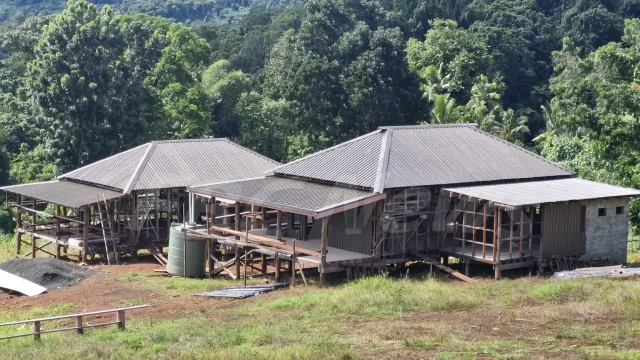
Meanwhile, the ministry has been conducting demarcation surveys for mahogany leases in Nukurua and Saukasa.
Out of 28 leases, 16 have been surveyed, with reports prepared for submission to the Plant Assessment Unit.
However, the approval process takes time due to involvement from other stakeholders, including the Department of Town Planning.
To uphold the accuracy of land surveys, all survey equipment used in Fiji undergoes testing on standard baselines to verify precision in distance measurement and bearings.
The ministry remains focused on improving land management processes, ensuring fair land dist


Stream the best of Fiji on VITI+. Anytime. Anywhere.