 Praneeta Prakash
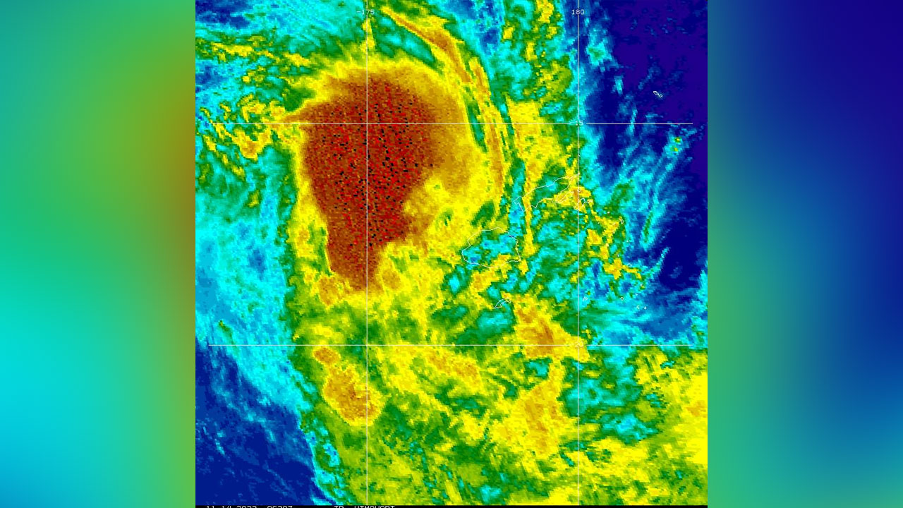
[Source: met.gov.fj]
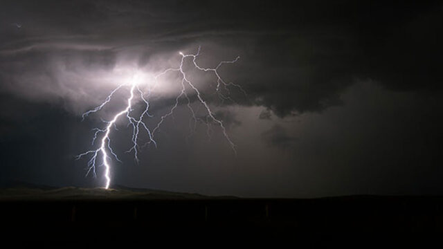
With Tropical Cyclone Mal now approaching the Fiji group, Acting Meteorology Services Director Bipen Prakash says most of the impact will be overnight.
Prakash says the system is close to Yasawa, who are experiencing significant winds.
He adds it is expected to track southwest towards the Fiji group, and possibly by later tonight they are expecting its impact, especially over the western parts of Viti Levu, the Vatulele, Kadavu, and nearby small islands.
“It will pass to the west of the group. It’s likely that it will remain to the west of the group, but its impact can be far-reaching. So at present, gale-to-storm force winds. The wind warning is over the Yasawa and Mamanuca groups, the western parts, and southern Viti Levu, as well as Vatulele, Kadavu, and nearby smaller islands. But we can also expect gale-force winds as far as the Lomaiviti group, the eastern half of Viti Levu, and the western parts of Vanua Levu.”
Prakash says the system is moving at a speed of around 34 kilometers per hour in the southwest direction.
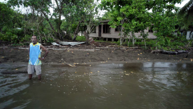
He adds that as the system approaches the group later tonight, we can expect a lot of rainfall.
In fact, we have upgraded our flash flood alert to a flash flood warning for the whole of Viti Levu. As such, we expect a lot of rainfall over the country in the course of the next 24 hours, which can lead to flooding, especially in low-lying areas and streams and creeks. We already had a lot of rainfall in parts of the country, especially the Northern division and Central division. So it might take a little rainfall for the rivers, streams, and creeks to swell again.
Prakash says they expect the system to intensify, possibly into a category three system later tonight or in the early hours of tomorrow morning.
Click Here on Evacuation_Centers
Stream the best of Fiji on VITI+. Anytime. Anywhere.