 Jale Daucakacaka
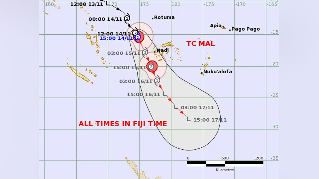
[Source: Fiji Meteorological Service]
A storm warning is in force for the Yasawa and Mamanuca groups, western and southern Viti Levu, Vatulele, Kadavu and nearby smaller islands.
In its latest weather update, the Fiji Meteorological Service says a gale force warning remains in force for Rotuma, Dreketi, Bua and Savusavu, eastern Viti Levu and the Lomaiviti Group.
The Nadi weather office says strong wind and heavy rain warnings remain in force for the whole of Fiji group.
A flash flood alert is in force for flood-prone areas, small streams and low-lying areas across Viti Levu.
The Fiji Met Service says Tropical Cyclone Mal was located about 340 kilometres west-northwest of Yasawa-i-Rawa or about 390 kilometres northwest of Nadi at 3pm today.
TC Mal has maximum winds of 55 knots (100 kilometres per hour), gusting to 75 knots (140 kilometres per hour), increasing to 65 knots (120 kilometres per hour), gusting to 90 knots (170 kilometres per hour) by midnight.
According to the weather office, TC Mal is moving southeast at 29 kilometres per hour and approaching Fiji waters.
At around midnight tonight, the Fiji Met Service says TC Mal is expected to be located about 220 kilometres west-southwest of Yasawa-i-Rara or about 200 kilometres west-northwest of Nadi.
Areas such as western, northern and southern Viti Levu, Vatulele, Kadavu and nearby smaller islands are expected to experience gale force winds with speeds of 65 kilometres per hour and gusts up to 90 kilometres per hour later this evening.
Winds are expected to further increase to storm force with speeds of up to 95 kilometres per hour and gusts up to 130 kilometres per hour from tonight.
For the western half of Vanua Levu, areas such as Dreketi, Bua to Savusavu, eastern Viti Levu and Lomaiviti Group can expect gale force winds with speeds of 85 kilometres per hour and gusts up to 120 kilometres per hour from this evening.
The rest of the Fiji group can expect gale force winds of 55 kilometres per hour and gusts up to 80 kilometres per hour from tonight.
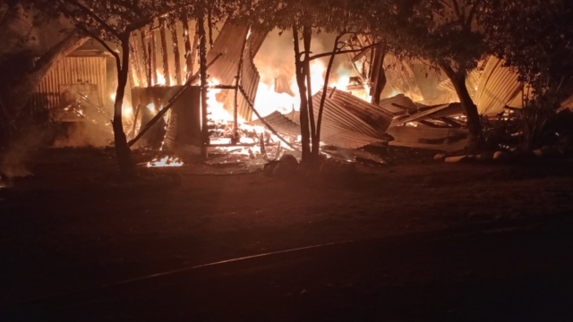
The weather office says gale force winds can cause significant damage to houses of very light materials and old galvanized iron roofs can be blown off.
It is likely to cause disruption in communication networks and power supply due to damaged power lines.
Small trees, most plants and crops are expected to be damaged and downed.
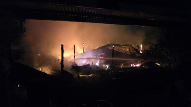
Storm force winds can damage weakly constructed houses and old residential structures, as well as break large trees, which may consequently block roads and affect transport routes.
Heavy rain and thunderstorms are expected to continue over most parts of the Fiji group, which will cause localized flooding of low-lying and flood prone areas, minor roads, iris crossings and bridges.
Mariners and seafarers are advised of increased risk for sea travel for all types of vessels due to gale and storm force winds.
The weather office says the impact of TC Mal should gradually ease from later tomorrow.
Click Here on Evacuation_Centers