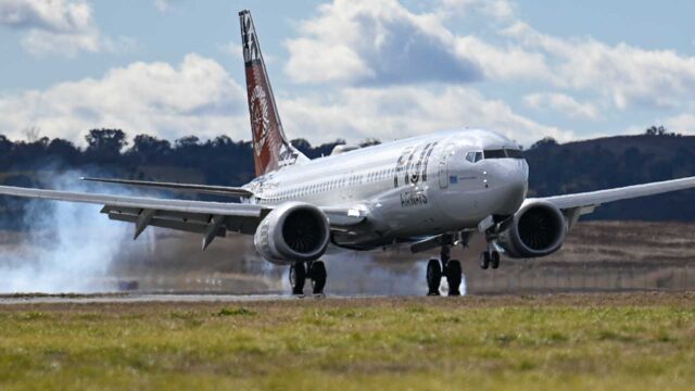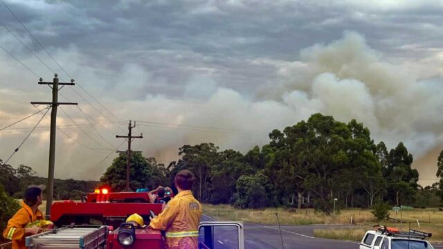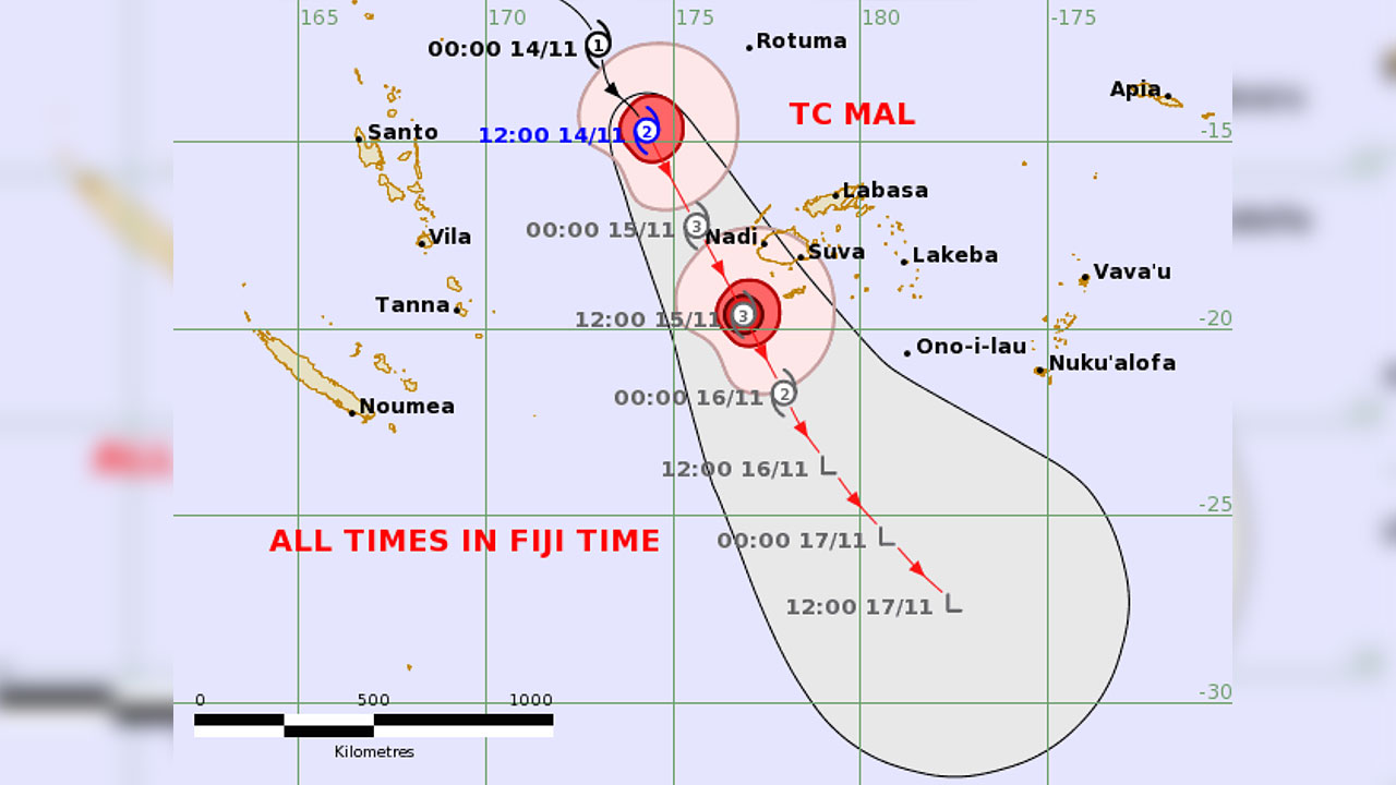
The Fiji Meteorological Office says if the path of Tropical Cyclone Mal moves closer to the land areas in comparison to the current expected path, hurricane-force winds could also be experienced over the land areas.
This comes as TC Mal is now likely to intensify into a Category 3 system as it approaches the Fiji Group tonight.
Acting Director Met, Bipen Prakash says the current analysis indicate that the destructive Category 3 winds are likely to be confined close to the centre of the system over open waters.
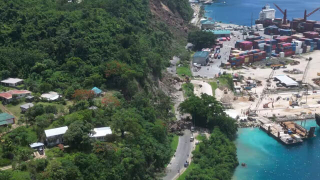
“Storm to gale force winds are expected over the land areas of Yasawa and Mamanuca Groups from later this afternoon or evening and spread over the rest of the country overnight, especially over the western and southern Viti Levu, Vatulele, Kadavu and nearby smaller islands.”
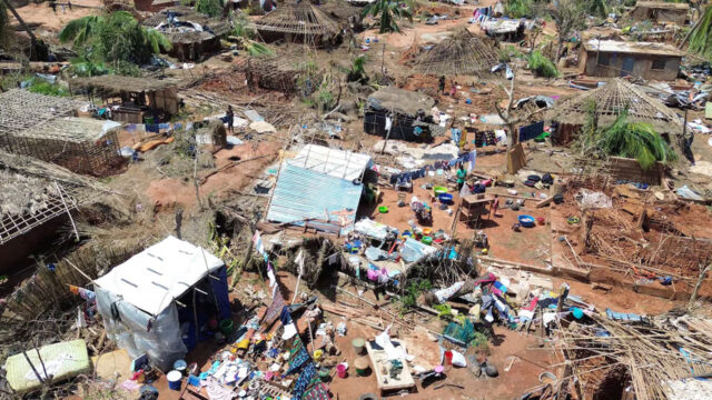
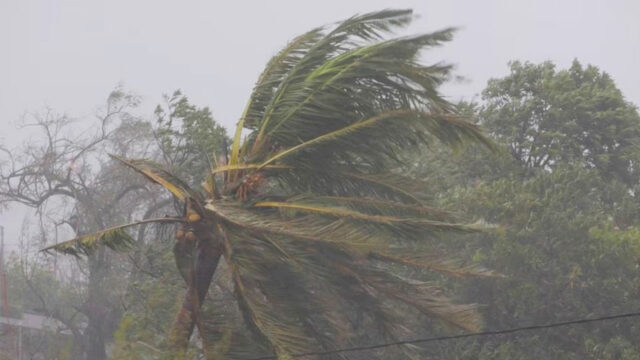
A Category Three cyclone has sustained winds of 111 to 129 miles per hour (96 to 112 knots or 178 to 208 kilometres per hour).
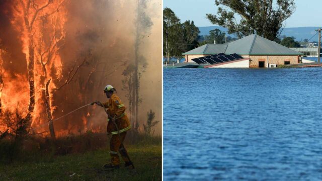
These are strong and potentially destructive winds that can cause significant damage to buildings, trees, and infrastructure.
Cyclones of this intensity ar are capable of causing extensive damage, including power outages, structural damage to buildings, uprooted trees, and potential disruption of transportation and communication systems.
A Category 3 can generate a significant storm surge, leading to coastal flooding in vulnerable areas.
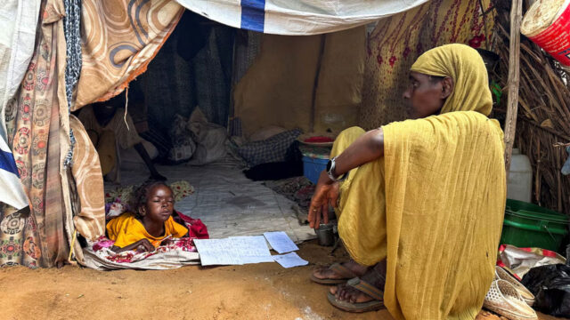
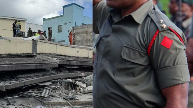
In areas prone to Category 3 cyclones, authorities often issue evacuation orders to ensure the safety of residents and minimize the risk of casualties.